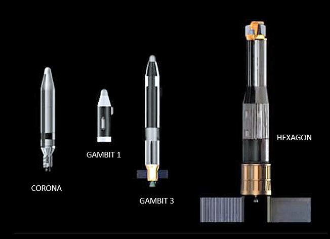
IMAGING SATELLITES (CORONA, GAMBIT & HEXAGON)

The CORONA program paved the way for satellite imagery, followed by GAMBIT for point target imaging and HEXAGON for broad area coverage. Over 8 million square miles of the earth was captured. Click HERE 10 min. (wait for YouTube to load)


